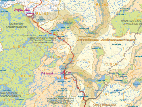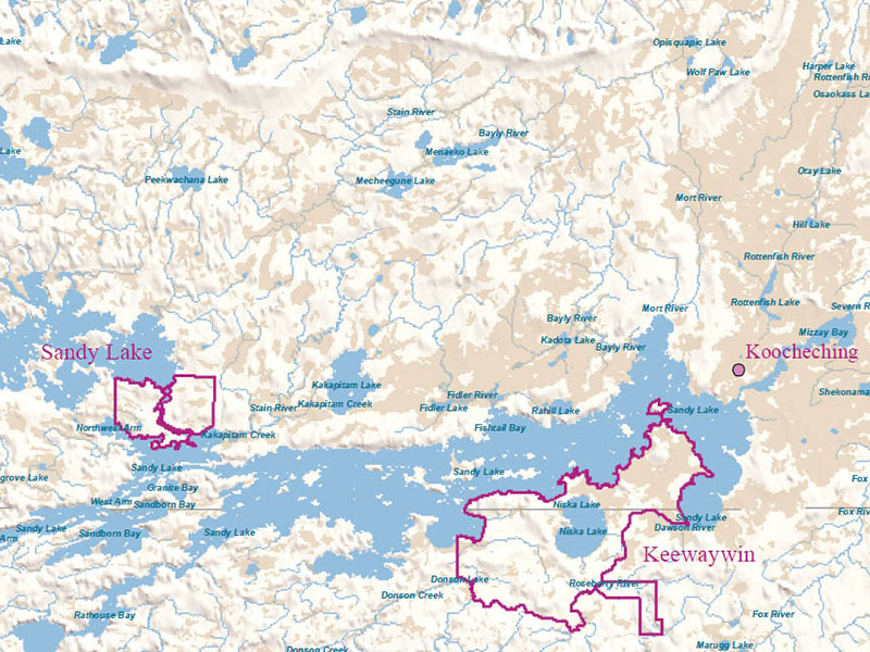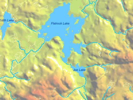


Thomson Environmental works regularly with specialty firms providing high resolution digital colour imagery and LiDAR data. We also provide reasonably priced in-house GIS services and image capture using a fleet of 4 fixed-wing and multi-rotor UAV platforms with high resolution DSL cameras.
We can assist in finding you the most appropriate imagery for your project at the lowest price. Imagery can then be used to support project planning and focused assessments, project design and subsequent monitoring.